Skip to content
Menu

These bookings run through Viator, who pay us a commission. Your price does not change, and neither does the order they appear in.

Historic site

Green's Shell Enclosure Heritage Preserve

Last updated

A shell embankment thrown up around a fortified village six centuries ago, three acres off Squire Pope Road. Nearly always empty.

Green's Shell Enclosure is three acres of woodland on the edge of the marsh above Skull Creek, and the thing you have come to see is a bank of oyster shell and earth, two to six feet high, running in a rough enclosure through the trees. It does not announce itself. Visitors who arrive expecting a monument tend to walk past the monument.

What it is: a fortified village site, occupied in the Irene phase, roughly 1300 to 1450 AD. That date is the point. Late prehistoric Mississippian-period communities on this coast were farming, organised into chiefdoms, and — here — enclosing their settlements behind an embankment. Green's is one of very few sites on the South Carolina coast that shows this, and archaeologists have argued it may reflect the first real adoption of agriculture along this stretch of shoreline. It is listed on the National Register of Historic Places, and excavation has continued on it in recent years.

What it is not: one of the island's Archaic shell rings. Hilton Head has those too — the ring in the Sea Pines Forest Preserve is on the order of four thousand years old, and Ford's Shell Ring on the north end is another. Those are ring-shaped middens left by hunter-gatherer-fisher people three millennia before Green's was built. Calling Green's a shell ring collapses about 2,700 years of history into one label. It is an enclosure, and it is much later, and the difference is the whole reason it is protected.

The preserve is managed through the South Carolina Department of Natural Resources heritage programme with the Town. It is free, unstaffed, and has no facilities at all. A short walk from the roadside parking passes a small cemetery, crosses a ramp, and ends at an overlook over the marsh. Total walking distance is a fraction of a mile.

Go for twenty minutes, understand what you are standing on, and leave the shell exactly where it is.
Getting there and parking

From US-278 on the north end, turn onto Squire Pope Road and follow it toward Skull Creek. The preserve entrance is small and easy to overshoot — load the location before you set off rather than relying on spotting a sign.

There is a small gravel parking area. From it, walk the short access road and then the marked trail; the whole walk to the overlook and back is roughly a third of a mile. The island's leisure trail network runs along parts of Squire Pope Road, so the preserve is reachable by bike from the north end, though the final approach is unpaved.

What to look for on the ground

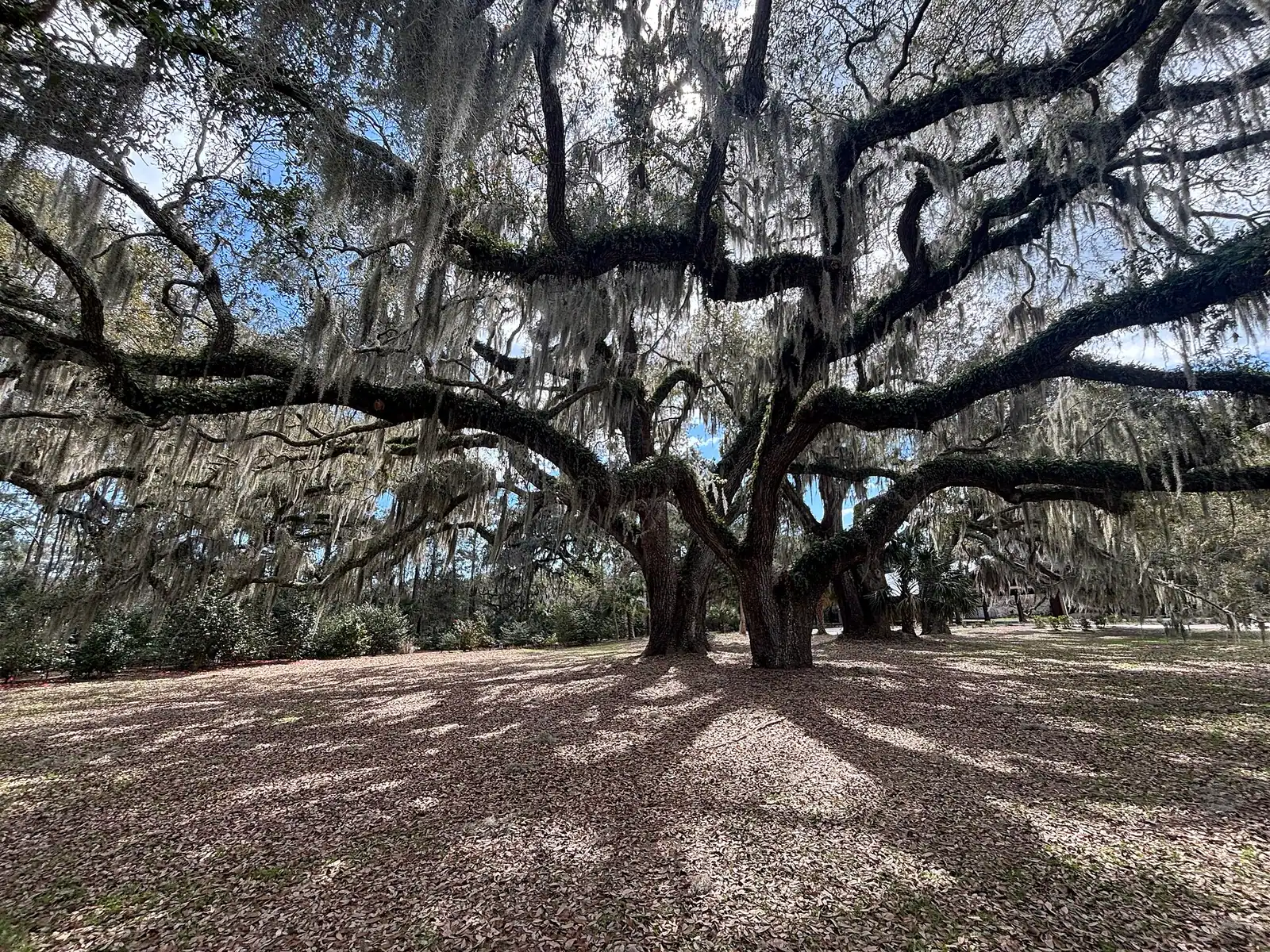
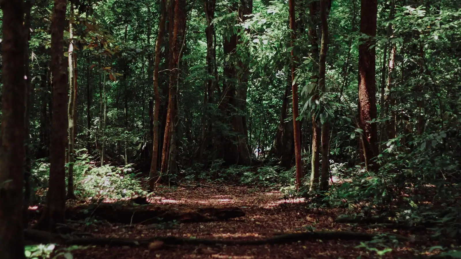
The embankment reads as a low, curving rise under leaf litter, distinguishable from a natural landform mainly by the amount of oyster shell in its make-up. Once your eye adjusts, the line of it through the trees becomes obvious and you can follow the enclosure round.

Walk the short trail slowly and look for:

  • The shell content of the bank itself — crushed and whole oyster, with occasional clam and whelk.
  • The change in vegetation on and off the bank. Shell makes soil alkaline in a region where soil is otherwise acidic, so different plants grow on the embankment than beside it.
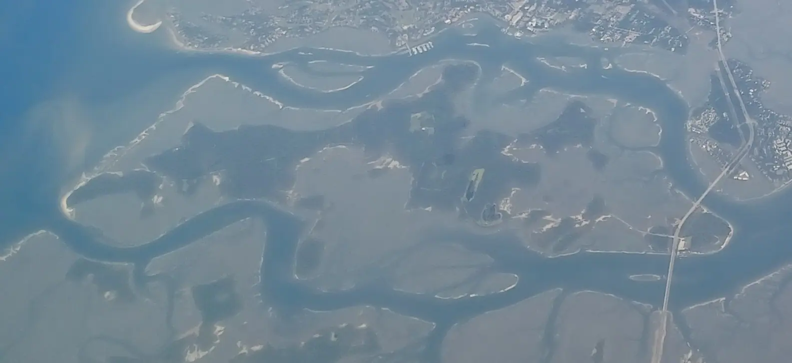
  • The marsh edge at the overlook. The creek was the reason the site existed: food, transport, defence.
  • The small cemetery the path passes. It is a later, historic burial ground, unrelated to the prehistoric site, and should be treated with the same respect as any other.

Do not dig, probe, collect shell or use a metal detector. This is a protected archaeological site under state heritage designation, and removal is an offence as well as a loss.

Three shell sites, three different eras

Hilton Head holds an unusually compressed record of pre-contact coastal occupation. Three sites on one island, thousands of years apart:

SiteRoughlyWhat it isAccess
Sea Pines Forest Preserve shell ringc. 2,000 BCArchaic ring-shaped middenInside Sea Pines, gate pass
Ford's Shell Ring (north end)ArchaicRing-shaped midden, town parkFree
Green's Shell Enclosurec. 1300–1450 ADEnclosed, likely fortified villageFree

The Archaic rings were made by people who fished, gathered and hunted; the rings are the accumulated debris of that life, arranged in a circle around a clear plaza, and their purpose is still argued over. Green's is the product of a different world: settled, agricultural, hierarchical, and concerned enough about its neighbours to build a wall.

Doing all three in a day is a genuinely unusual thing to be able to do, and it costs one Sea Pines gate pass and nothing else.

Finding it, and what to expect

The hard part is arriving. The preserve is off Squire Pope Road on the island's north-west side, the entrance is small, and there is no attraction-style signage. Have the location loaded on your phone before you leave, drive slowly, and be prepared to turn around once.

Once there: a small parking area, a short access road on foot, then an easy trail of roughly a fifth of a mile to the overlook. Expect no restrooms, no water, no bins and nobody to ask. Phone signal is usually fine.

This is marsh-edge woodland, so from May to October wear repellent and long trousers, and check for ticks afterwards. After heavy rain the ground holds water. Closed shoes, always.

Go in the morning for the light and the birdlife on the creek. If you want the site's story in more depth first, the Coastal Discovery Museum at Honey Horn is ten minutes away, free to enter, and covers the island's archaeology properly.

Tours that visit Green's Shell Enclosure

Operators run these trips past Green's Shell Enclosure, or stop there as part of a longer route. We list what the booking data supports — not everything that mentions the name.

These bookings run through Viator, who pay us a commission. Your price does not change, and neither does the order they appear in.

Shared departurespriced per seat, best value for one or two

  • Hilton Head Island Dolphin Boat Cruise

    Involves Animals

    Hilton Head Island Dolphin Boat Cruise (opens in a new tab)

    Free cancellationInstant confirmation
    1.7K reviews

    - Experience dolphins up close and in their natural environment - Fun for Families & Educational - Comfortable and completely shaded boat…

    1–2 hours

    Prices checked

    from $39.99
  • 90 minute Hilton Head Sunset Dolphin Cruise

    Involves Animals

    90 minute Hilton Head Sunset Dolphin Cruise (opens in a new tab)

    Free cancellationInstant confirmation
    274 reviews

    Explore the salt marsh and take in views of the incredible Lowcountry sunset! On this 90-minute tour, learn about the salt marsh and try…

    1–2 hours

    Prices checked

    from $55
  • Hilton Head Island Sunset Dolphin Tour

    Involves Animals

    Hilton Head Island Sunset Dolphin Tour (opens in a new tab)

    Free cancellationInstant confirmation
    105 reviews

    Embark on an unforgettable Sunset Dolphin Tour around Hilton Head Island, SC! Join our fun crew of knowledgable guides as we cruise the…

    1–2 hours

    Prices checked

    from $49.99

Private and small-group optionsoften cheaper per head for a family or a group of six

Near Green's Shell Enclosure

Straight-line distances, so allow more on the road — the island is long and has one main parkway.

  • A timber dock reaching out over still water backed by a dark treeline

    Historic site

    Fort Mitchel

    Free

    An 1862 gun battery on a bluff over Skull Creek, inside a gated community — you need a pass at the gate to see it.

    25–45 minutesNo charge at the site itself; the obstacle is gate access, not a ticket.0.9 mi away

  • A raised timber boardwalk running through dense green woodland

    Museum

    Coastal Discovery Museum at Honey Horn

    Free

    Sixty-eight acres of marsh boardwalk, live oak allee and camellia garden, free to walk, with the island's best interpretation indoors.

    1–2.5 hoursFree entry to the museum and the 68-acre grounds. Donations encouraged.1.1 mi away

  • A wooden dock reaching out over a calm lake backed by a low tree line

    Park

    Jarvis Creek Park

    Free

    A paved mile around an 11-acre lake, a free fishing dock and no parking meter in sight — the island's most useful ordinary park.

    1–2 hoursFree, with free parking1.6 mi away

  • Low evening sun across a wide expanse of tall golden marsh grass

    Wildlife

    Pinckney Island National Wildlife Refuge

    Free

    Four thousand free acres on the causeway, wading birds by the hundred at Ibis Pond, and not a restroom or water tap anywhere.

    1–4 hoursFree — no entry fee and no parking charge0.5 mi away

Green's Shell Enclosure: common questions

What is Green's Shell Enclosure?

A late prehistoric archaeological site on three acres above Skull Creek: a low embankment of oyster shell and earth, two to six feet high, enclosing what was a fortified village. It dates to roughly 1300 to 1450 AD, the Irene phase, when communities on this coast were farming and organised into chiefdoms. It is listed on the National Register of Historic Places and is protected as a state heritage preserve.

Is Green's Shell Enclosure the same as a shell ring?

No, and the distinction matters. The island's Archaic shell rings — one in the Sea Pines Forest Preserve, another at Ford's Shell Ring on the north end — are ring-shaped middens left by hunter-gatherer-fisher people around four thousand years ago. Green's is an enclosure built around 1300 to 1450 AD by a settled agricultural community, roughly 2,700 years later. Different people, different era, different purpose.

Is it free, and how long does it take?

Free, unstaffed, and about twenty to forty minutes. There is a small gravel parking area, a short access road on foot, and an easy trail of roughly a fifth of a mile that passes a small historic cemetery and ends at a marsh overlook. There are no restrooms, no water and no signage of the attraction variety.

What should you not do at the site?

Do not dig, probe, collect shell or use a metal detector. This is a protected archaeological site under South Carolina heritage designation and removal is both an offence and an irreversible loss of information. Stay on the trail, keep off the embankment where erosion is visible, and treat the historic cemetery on the path with the respect you would give any other.

When is the best time to visit?

Winter or early spring, in the morning. The embankment is far easier to see when the undergrowth has died back, and marsh-edge woodland in July means mosquitoes, chiggers and heat. Whenever you go, wear closed shoes and use repellent between roughly May and October, and check for ticks afterwards.