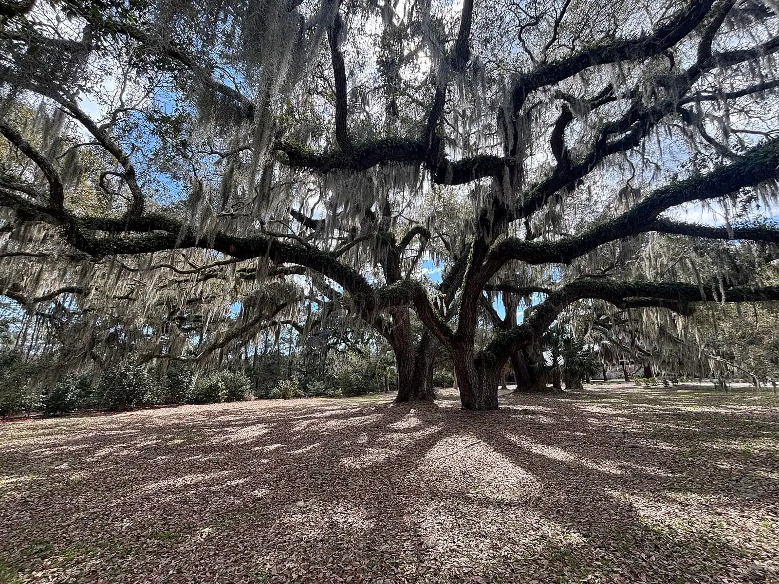
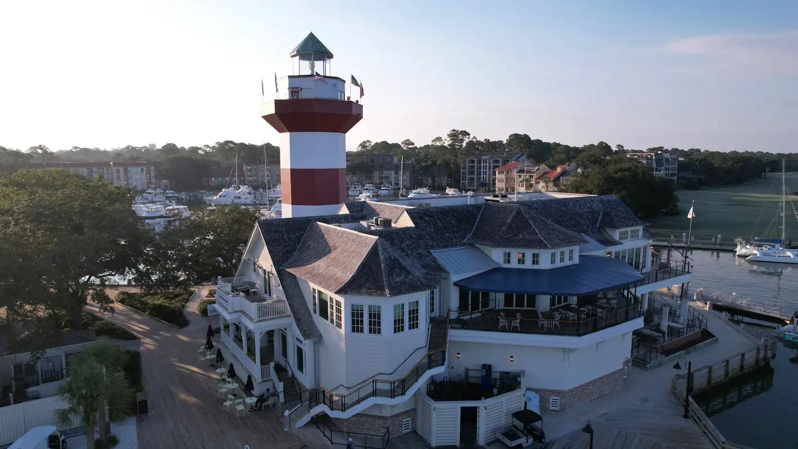
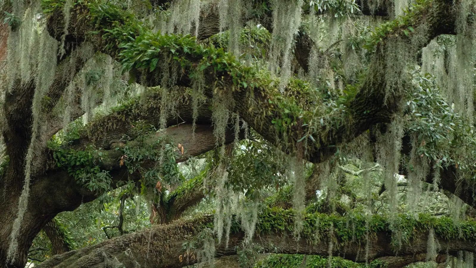
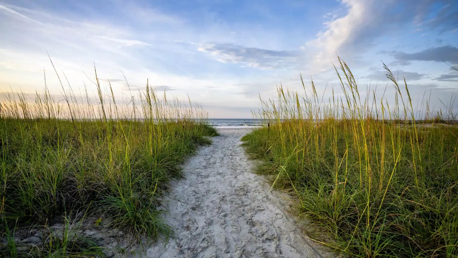
Hilton Head does not look like a beach town, and that is the first thing to plan around. The island's building and sign ordinances hold rooflines below the tree line and forbid anything that glows, so there is no strip, no neon, no row of towers facing the Atlantic. Twelve miles of oceanfront sit behind a screen of loblolly pine and live oak, and the restaurants, the bike shop and the grocery store are all tucked behind the same trees. Visitors routinely drive past their own rental the first time. The practical consequence is that you cannot find things here by looking around. You find them by knowing where they are, which is the job of this page.
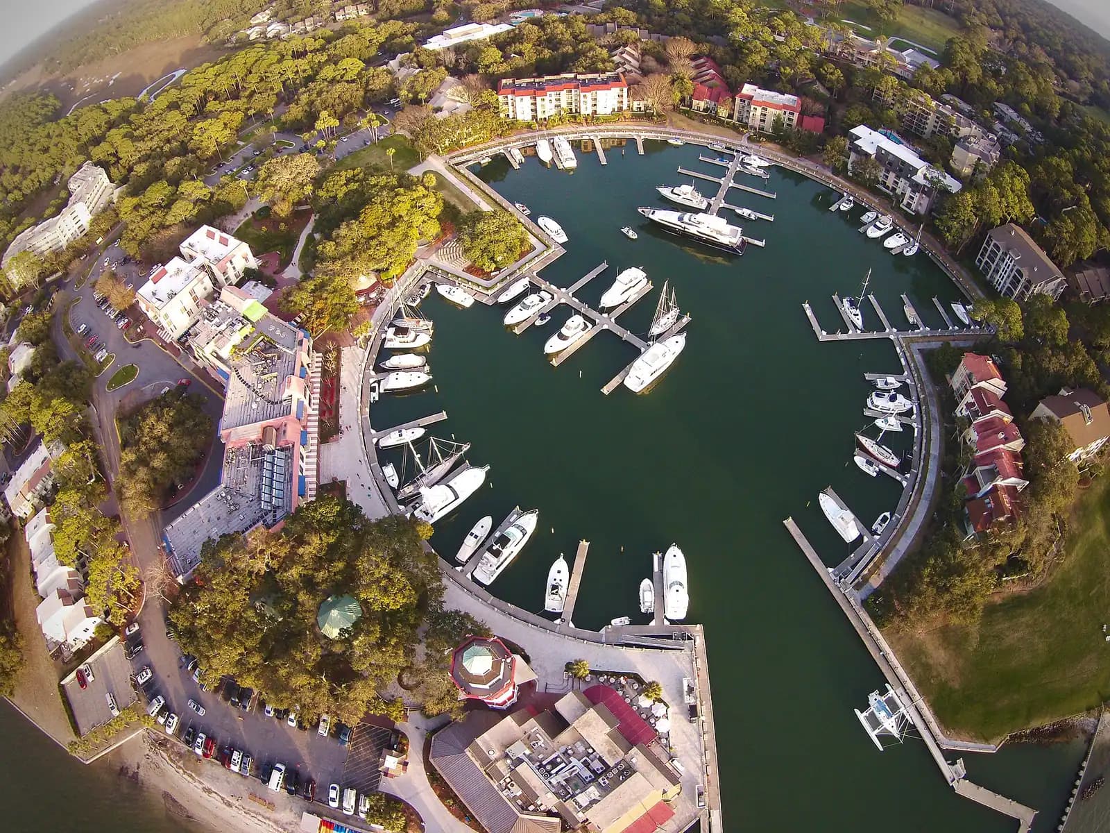
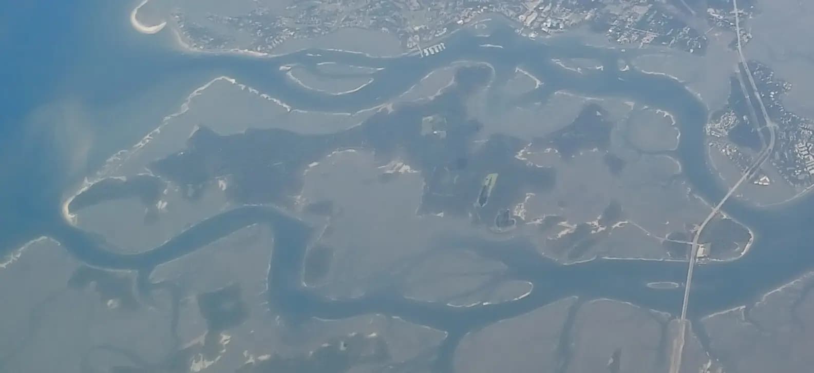
The island is shaped like a boot, roughly twelve miles long and 42 square miles in total, with the Atlantic to the east, Port Royal Sound to the north, Calibogue Sound to the southwest and Skull Creek and the Intracoastal Waterway along the back. Broad Creek cuts in from the west almost far enough to split the island in two, which is why the middle of the island is full of marinas and why a five-mile journey can take twenty-five minutes. One main road, William Hilton Parkway (US-278), runs the whole length; the Cross Island Parkway cuts the corner to the south end and saves about fifteen minutes. Everything below sits somewhere along that spine.
Most people come for a week in a rental house or villa, and weeks here start on Saturday. That rhythm shapes the island. Saturday is turnover day, when several thousand families arrive and leave across the same two-lane bridges, and it is the worst possible day to plan anything that needs a car. Sunday morning is the island at its calmest. By midweek most families have settled into beach mornings, afternoon naps and early dinners, because the sun is genuinely strong from May through September and the high-summer thunderstorms that build over the mainland are not a rumour.
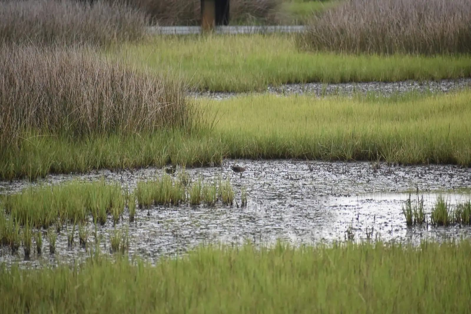
The second rhythm is the tide, and it matters more than visitors expect. The range here runs six to seven feet, far greater than Florida's Gulf coast, and the island is a different place at each end of it. At low water the beach is several hundred feet wide and packed hard enough to cycle on, the shell flats at the north end open up and the marsh turns to mud. At high water the beach narrows to a strip, the creeks are navigable everywhere and the kayak launches are easy. Low tide shifts about fifty minutes later each day, so the good beach-riding window drifts across your week. Look at a tide chart on arrival day and you will make better decisions for the next six.
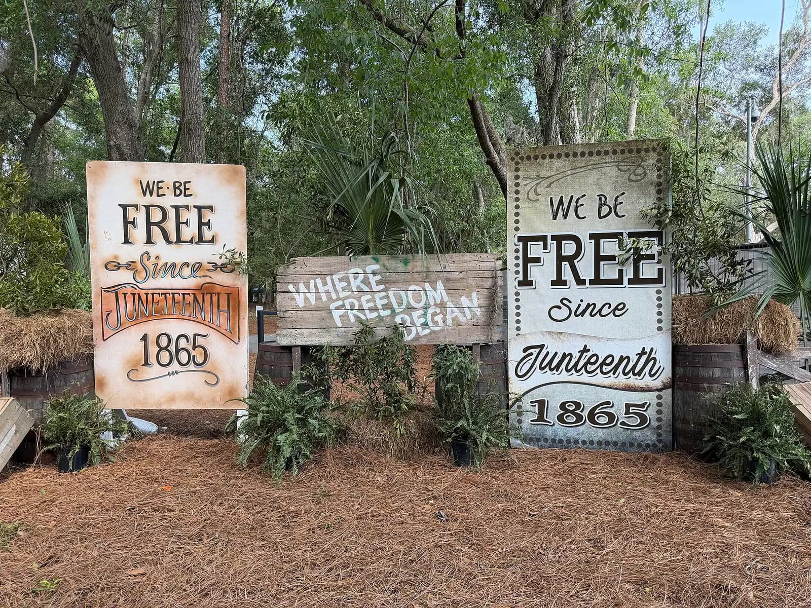
Money is unevenly distributed here. The sand itself is free, since every beach below the high-water mark is public under South Carolina law, but parking at most town beach parks is charged by the hour in season, Sea Pines collects a daily pass from cars at the gate, and boat trips are the main discretionary expense of a normal week. Against that, some of the best hours on the island cost nothing: Pinckney Island National Wildlife Refuge out on the causeway, the grounds at the Coastal Discovery Museum, Historic Mitchelville Freedom Park, Jarvis Creek Park and more than seventy miles of public pathway.
One honest framing before the lists. Hilton Head is not an amusement destination. There is no pier, no arcade boardwalk, no aquarium, no theme park and very little that stays open past eleven. What it has instead is a working estuary with resident bottlenose dolphins, a beach firm enough to ride a bicycle down, more golf than most counties in America, and a layer of history — Gullah Geechee, Civil War, and the first self-governed town of formerly enslaved people in the United States — that repays a full day of attention. Plan for that island and the week works. Plan for a different one and you will spend it in the car.